Drone Services
With a licensed commercial UAS (drone) pilot on staff, we can provide the following drone services for real estate & construction:
Aerial Photography
Real estate aerial photography for commercial and residential properties or raw land can be used to sell or inspect property.
Construction Progress Reporting
Great for investors!
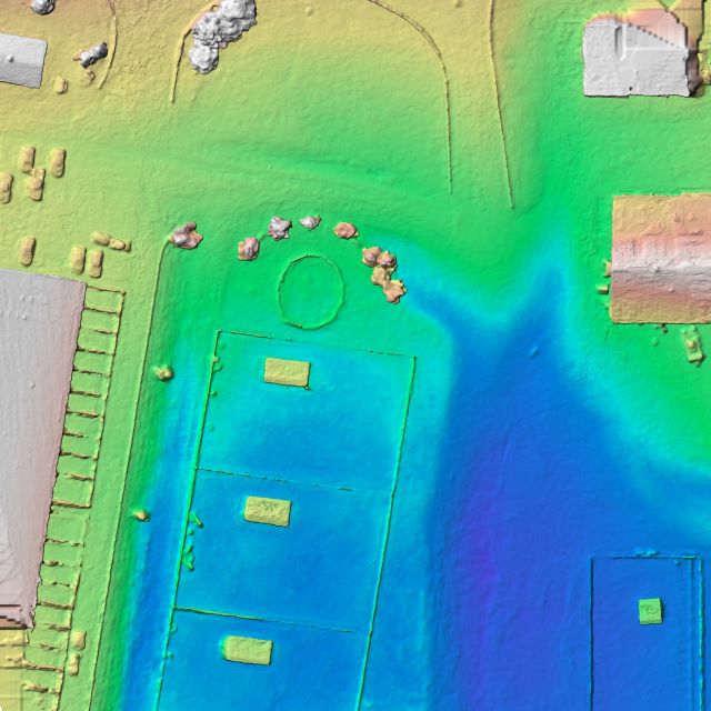
We provide construction progress reporting via orthomosaic photography and drone mapping. We take several photos of the construction site from the air and stitch the photos together to create an orthomosaic. The orthomosaic is georeferenced on top of google maps to give you a more accurate representation of progress without having to wait for google aerial imagery to update.
We can take weekly, biweekly, or monthly progress shots. Each project gets its own custom webpage with a slideshow of the construction progress.

